
|
Edizione Cartacea |
Edizione Web |
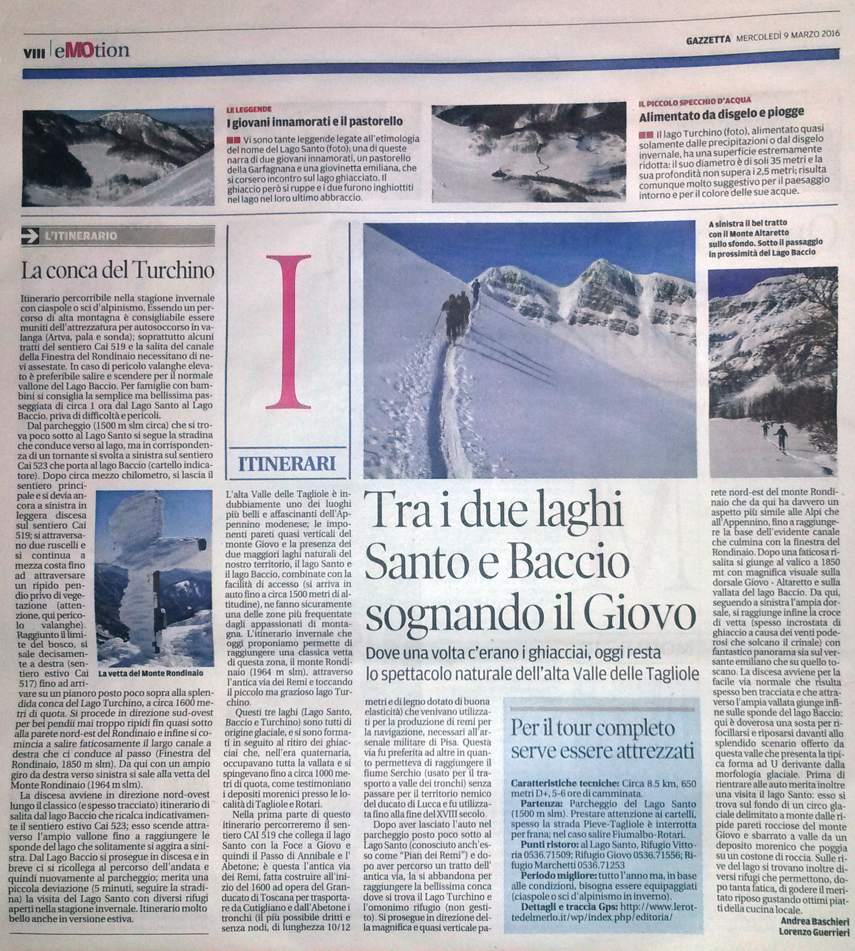
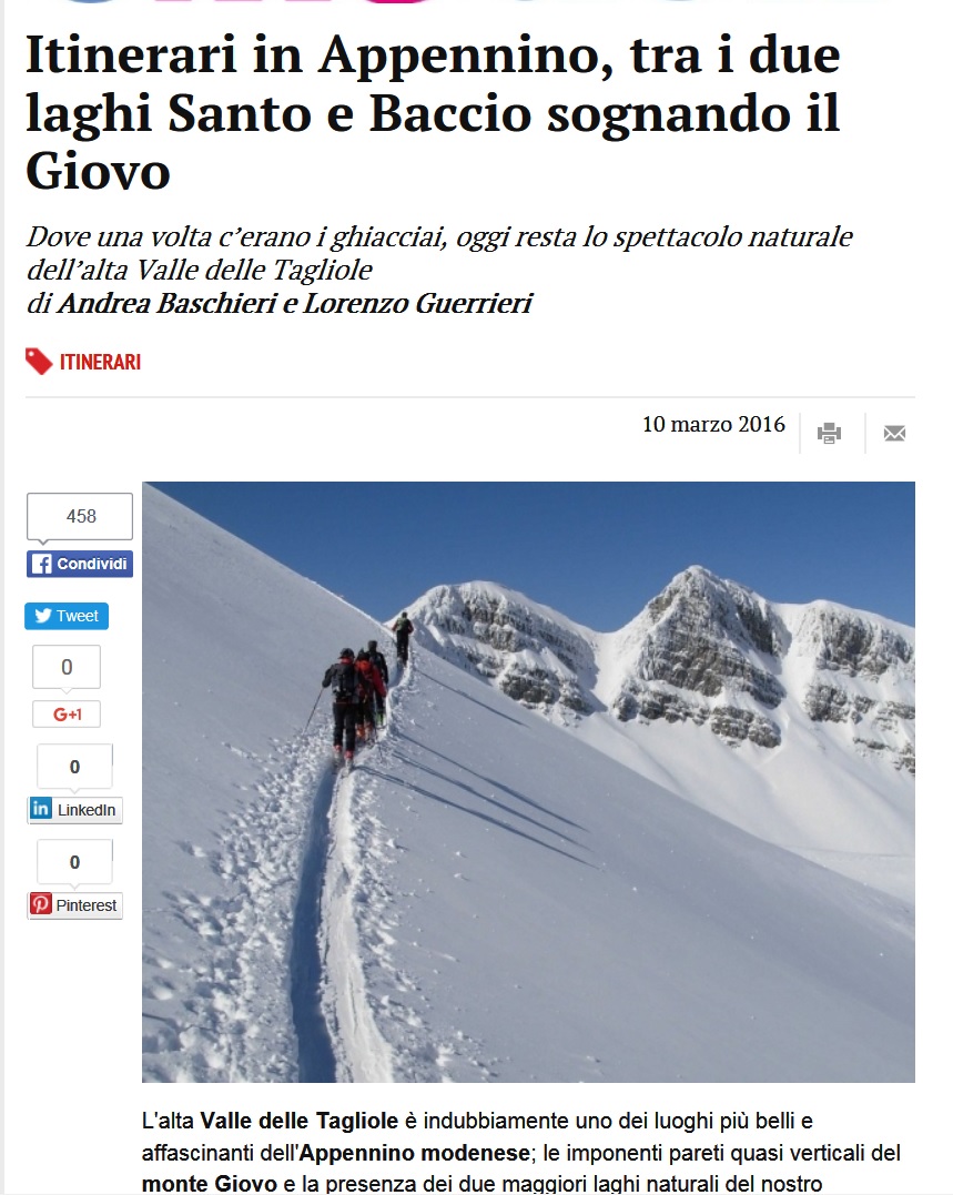
Trek – Lago Santo Monte Rondinaio |
  |
| Itinerario |
|
Map of the route “Gazzetta-09-Trek”: 8.611 m, 680 m of climbing and 688 m of descent, elevation between 1.410 m and 1.942 m, time 05:50:42. It is a loop that starts and ends at 44.13827, 10.58817 (latitude, longitude). |


|
Scarica Traccia Gpx |
 |