
|
Edizione Cartacea |
Edizione Web Pieve |
Edizione Web Scoltenna |
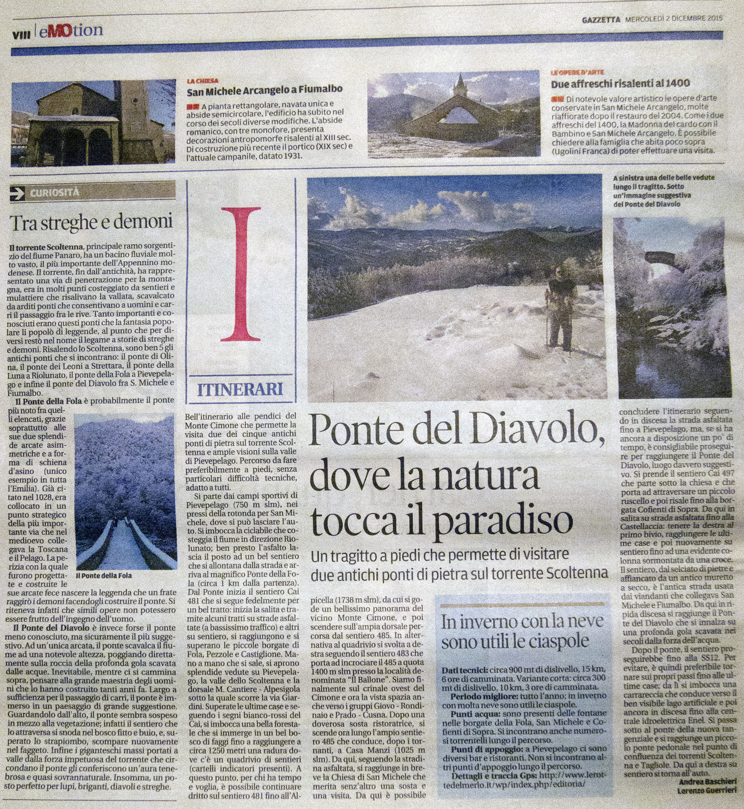
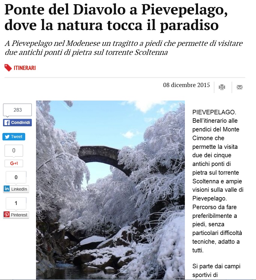
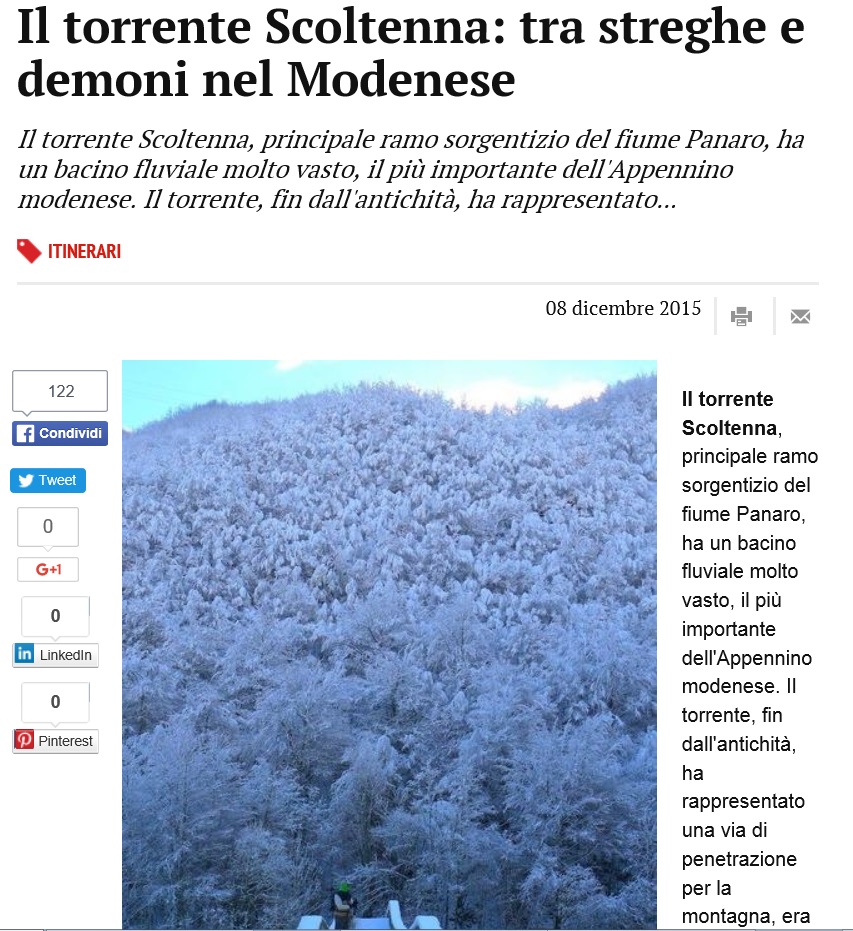
Trek – Pievepelago Ponti Scoltenna |
  |
| Itinerario |
|
Map of the route “Gazzetta-03-Trek”: 15.259 m, 820 m of climbing and 846 m of descent, elevation between 722 m and 1.355 m, time 05:57:02. It is a loop that starts and ends at 44.20298, 10.62005 (latitude, longitude). |
|
|
Scarica Traccia Gpx |
 |