
|
Edizione Cartacea |
Edizione Web 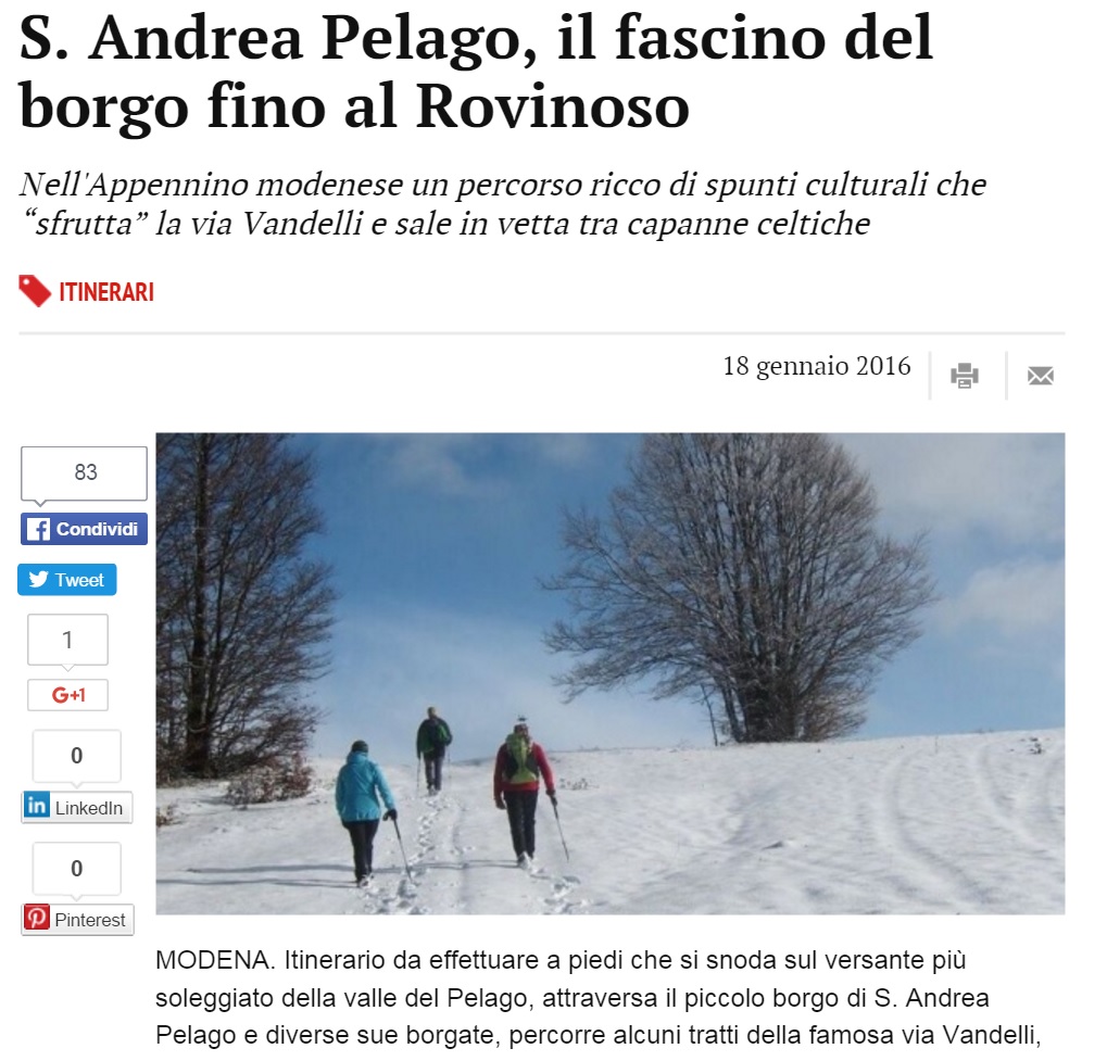 |
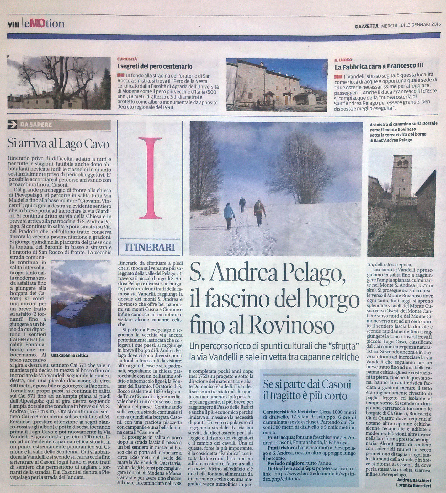
Trek – St. Andrea Pelago |
  |
| Itinerario |
|
Map of the route “Gazzetta-06-Trek”: 17.990 m, 879 m of climbing and 924 m of descent, elevation between 707 m and 1.559 m, time 49:33:31. It starts at 44.22141, 10.60280 and ends at 44.20809, 10.61738 (latitude, longitude). |
|
|
Scarica Traccia Gpx |
 |