
Alpi Orobie 2021 | 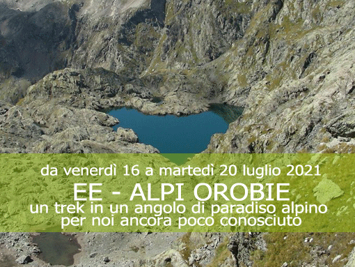  |
|
Un Trekking in un angolo di paradiso alpino per noi ancora poco conosciuto. |
| Giorno 1 Dal Valbondione al Rifugio Coca |
|
Map of the route “Orobie 2021”: 8.812 m, 1.288 m of climbing and 249 m of descent, elevation between 876 m and 2.137 m, time 07:26:48. It is a loop that starts and ends at 46.05474, 10.00984 (latitude, longitude). |
| no images were found |
 |
|
||
| Giorno 2 Da Rifugio Coca a Rifugio Barbellino |
|
Map of the route “Orobie 2021”: 11.316 m, 846 m of climbing and 627 m of descent, elevation between 1.730 m and 2.252 m, time 07:13:49. It starts at 46.05466, 10.00973 and ends at 46.07667, 10.07966 (latitude, longitude). |
| no images were found |
| Giorno 3 Da Rifugio Barbellino a Rifugio Curò |
WP GPX Maps: GPX file not found! |
| no images were found |
| Giorno 4 Da Rifugio Curò a Pizzo Diaviolo |
|
Map of the route “Orobie 2021”: 13.724 m, 1.100 m of climbing and 1.110 m of descent, elevation between 1.801 m and 2.867 m, time 24:09:02. It is a loop that starts and ends at 46.06179, 10.04780 (latitude, longitude). |


|
| Giorno 5 Da Rifugio Curò a Valbondione |
|
Map of the route “Orobie 2021”: 9.728 m, 83 m of climbing and 993 m of descent, elevation between 975 m and 1.954 m, time 18:57:38. It starts at 46.06186, 10.04773 and ends at 46.03427, 10.00244 (latitude, longitude). |
| no images were found |
|
|
||